Flood Zone Map
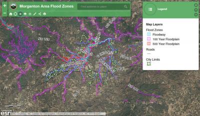
The flood zone map is maintained by the City's GIS Division. The map shows the Floodway, 100 year floodplain, and 500 year floodplain. For more information on the City's Flood Damage Prevention ordinance, go to the Development Regulations page.
The City of Morganton Flood Zone Map is available online at http://bit.ly/morgantonfloodmap
View more flood information at the N.C. Flood Risk Information System.

